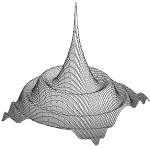

This document describes the format of a point spread function (PSF) FITS file intended for simulation in Artificial sky tool (manual).
PSF is specified by a FITS file having one single primary image extension. The image data represent intensities in projected coordinates.
PSF is a two-dimensional array of real values. PSF is recommended to be normalised; the total intensity under the surface can be equal to one, which helps to keep the photometry information.
The extension should have included parameter ZOOM which maps PSF on a simulated image.
Processing follows the way:
There are those limitations:
artpsf.f08 does generate the template artpsf.lst of PSF file; run munipack fits --restore artpsf.lst to make FITS itself.